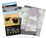
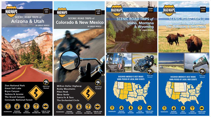
E. Montana, E. Wyoming, Dakotas and N.W. Nebraska
USRT060
USA Road map: 31 scenic road trips of the Dakotas, eastern Montana, eastern Wyoming and northwest Nebraska are perfect for motorcycle touring, RV trips or car driving.
Our local MAD scouts spent plenty of time in this region finding the scenic highways and scenic byways. They also spent time exploring the area's many natural wonders and finding the best attractions. You've heard the names before. Isn't it time to check them out? Storied places include Thunder Basin National Grasslands, the Black Hills...the list goes on and on.
Check out this road planner today. MAD Maps™ road trip maps are available in traditional, foldable, tear-proof paper. If you're interested in making it a customized, single-sided, wall map... click here.
Coverage Area:
| NORTH | SOUTH | EAST | WEST |
| Canadian line | CO state line | ND state line | Billings, MT |
US Road Trip MAD Maps Feature:
- Scenic Day and Overnight Road Trips
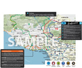
- 24-35 Trip Options Per Map with Directions
- Convenient Size: 4” x 9” – (FOLDED)
- Open Size: 27" x 36" - (UNFOLDED)
- Color-Coded Routes
- Water & Tear-Resistant Paper
- Hand-Picked Routes from Local Scouts
- Must See Roadside Attractions
- Campgrounds, Recreational Areas, and Outfitters
- Historical Anecdotes and Entertaining Insights
great maps
I have 10 of these maps and all have been very helpful planning my trips
Amazingly easy Maps
Your maps are amazingly easy to read and understand. I will be using my maps for a motorcycle trip this June. Can't wait!!


