US State and County Wall Maps
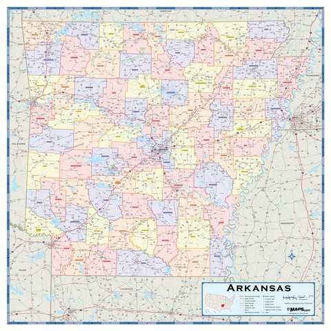
The USA State and County Maps collection is comprised of maps of the US state maps with counties. Each is a very complete, detailed map using saturated colors combined with an abundance of information. Showing county outlines, cities, highways, and more, are valuable reference maps. These large-scale maps are printed on demand and you will receive confirmation of shipping within a week of your order date. Sizes are approximate and may vary due to the nature of the trimming and laminating processes. The high-quality paper, printing, and lamination make them perfect for you to frame if you choose